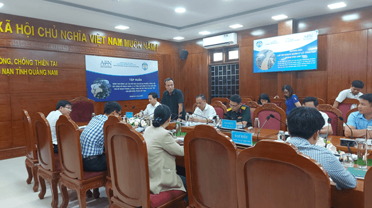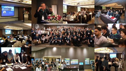

The Deltares Software Days South-East Asia – Edition 2018 (Part II)
Continue withThe Deltares Software Days South-East Asia – Edition 2018, CEFD researchers join Deltares software training coures. Deltares software is used by experts in the areas of a.o. environmental modelling, hydrologic and hydraulic research, flood forecasting, water availability assessment, hydropower feasibility studies.
Continue withThe Deltares Software Days South-East Asia – Edition 2018, CEFD researchers join Deltares software training coures. Deltares software is used by experts in the areas of a.o. environmental modelling, hydrologic and hydraulic research, flood forecasting, water availability assessment, hydropower feasibility studies.


Specific training courses are as follows:
1.Distributed hydrological modeling made simple with wflow:
Wflow is Deltares’ open source hydrological modelling framework which is used in many projects to simulate the rainfall-runoff processes on catchment scale. Recently the wflow modelbuilder has been developed, a tool that makes it easy to set up a wflow model with global data, anywhere in the world.

2. 1D2D applications of Delft3D Flexible Mesh Suite:
This modelling workshop is intended for SOBEK2 users and for Delft3D Flexible Mesh (Delft3D FM) or Delft3D 4 users interested in 1D2D applications. The Delft3D Flexible Mesh Suite is the next generation simulation software package for evaluating and forecasting hydraulic functioning of rivers under normal, extreme and exceptional conditions, and the successor of SOBEK 2 and Delft3D 4. During this introductory workshop, we will address some of the following functionalities: 1D river hydraulics, river induced flooding and 1D2D modelling, using Real-Time Control and Python scripting.
This workshop focusses on hydraulic behavior of rivers. Following a stretch of the Dutch river Waal, we will cover the basic functionalities required in consulting projects.

3. Advanced Flood Forecasting with Delft-FEWS
Delft-FEWS is Deltares’ data and model integration platform, used in all kind of applications, especially Flood Forecasting Systems. In this workshop we will discuss the basic principles of advanced flood forecasting, and how Delft-FEWS provides the platform for flood forecasting systems. Using some examples, we will discuss some typical applications of Delft-FEWS: from basic flood forecasting for single basins, to advanced central forecasting support systems fully integrated in National Meteo Hydro Services. In the second part of the workshop we will teach you some of the basics of configuring a flood forecasting system for your own basin.
4. RIBASIM – River Basin Simulation basics
RIBASIM (River basin simulation model) is the software package for quantitatively analysing river basin water balance, investigating water allocation options and evaluating the impacts of existing and potential adaptive solutions. During this free one-day basics course, we will address key RIBASIM functionalities and its application for impact assessment studies for sustainable river basin development. The course is intended for young and new river basin modellers and water resources planners with interest in modelling.